Effective as of 4:00 PM Wednesday March 31 2021
Explanatory notes:
Some uncertainty in the afternoon and maximum temperatures tomorrow with variation between models and ensembles.
Temperatures will dependent on how quickly middle level cloud cover clears, the upper level patterns as well as the timing and strength of the sea breeze.
The ECMWF 00Z has substantial hot air advection during the day such that 850 hPa temperatures reach up to some 24C, this could reach to surface temperatures of up to 41C over inland areas such as Pearce RAAF. In this scenario, like on Monday, there is the possibility that maximum temperatures even at Perth Metro would exceed forecast maximums by a margin.
The GFS 00Z, however, has a cooler solution, with 850 hPa temperatures up to only 19C as it predicts much weaker hot air advection with weaker winds at the 850 hPa level and mid level cloud cover to remain until afternoon, this would surface temperatures even over Pearce RAAF of below 37C.
The ACCESS 00Z and GEM 00Z also has the cooler solutions.
The rest of Wednesday March 31:
City:
Possible shower.
Chance of any rain:30%
Perth Metropolitan Area:
Partly to mostly cloudy.A slight(30%) chance of showers.The chance of a thunderstorm.Winds south-southwesterly at 15-25 km/h becoming south-southeasterly at night.
Thursday April 1:
City:
20-35 Degrees Celsius
Clouds decreasing.
Chance of any rain:10%
Amount:Nil
Perth Metropolitan Area:
Partly cloudy becoming mostly by afternoon.Winds east-southeasterly at 10-20 km/h becoming south-southwesterly at 15-25 km/h in the afternoon becoming south-southeasterly at night.
Friday April 2:
City:
20-32 Degrees Celsius
Partly cloudy.
Chance of any rain:5%
Amount:Nil
Perth Metropolitan Area:
Partly cloudy.Winds southeasterly at 5-15 km/h tending south-southwesterly at 15-25 km/h in the afternoon.
Saturday April 3:
City:
20-33 Degrees Celsius
Partly cloudy.
Chance of any rain:20%
Amount:Nil
Perth Metropolitan Area:
Partly cloudy.A slight(20%) chance of a shower or thunderstorm.Winds east-southeasterly at 10-20 km/h tending south-southwesterly at 15-25 km/h in the afternoon becoming southeasterly at night.
Sunday April 4:
City:
19-35 Degrees Celsius
Partly cloudy.
Chance of any rain:5%
Amount:Nil
Perth Metropolitan Area:
Partly cloudy.Winds east-southeasterly at 15-25 km/h tending south-southwesterly during the afternoon.
Monday April 5:
City:
20-31 Degrees Celsius
Mostly sunny.
Chance of any rain:5%
Amount:Nil
Perth Metropolitan Area:
Mostly sunny.Winds northeasterly at 10-20 km/h shifting west-southwesterly later during the day.
Tuesday April 6:
City:
18-29 Degrees Celsius
Mostly sunny.
Chance of any rain:5%
Amount:Nil
Perth Metropolitan Area:
Mostly sunny.Light winds tending southwesterly at 10-20 km/h during the afternoon.
Wednesday April 7:
City:
18-26 Degrees Celsius
Partly cloudy.
Chance of any rain:20%
Amount:Nil
Perth Metropolitan Area:
Partly cloudy.A slight(20%) chance of a shower.Winds south-southwesterly at 20-30 km/h.
Cha

Figure 1.Surface synoptic chart at 12 UTC(8 PM local time yesterday).Image courtesy of the Australian Bureau of Meteorology(BOM).
2.

Figure 2.Key features identified on True Colour RGB satellite image at around 06:00 UTC(2 PM local time yesterday).Satellite image courtesy of the Japanese Meteorological Agency(JMA).

local time yesterday).Image courtesy of the Australian Bureau of Meteorology(BOM)

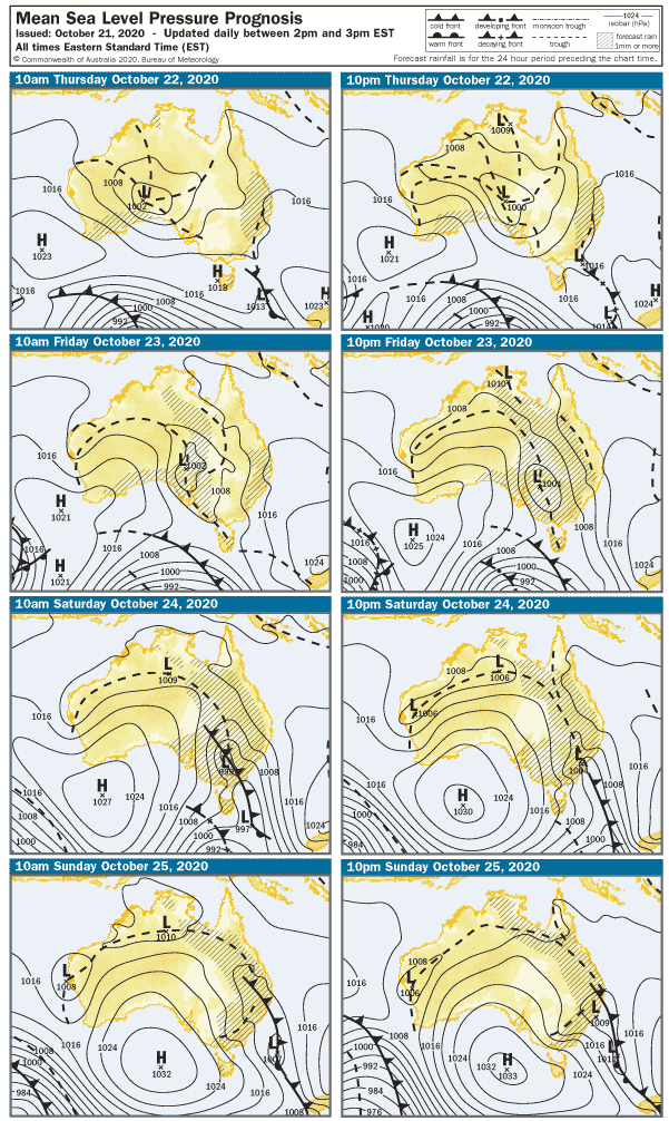
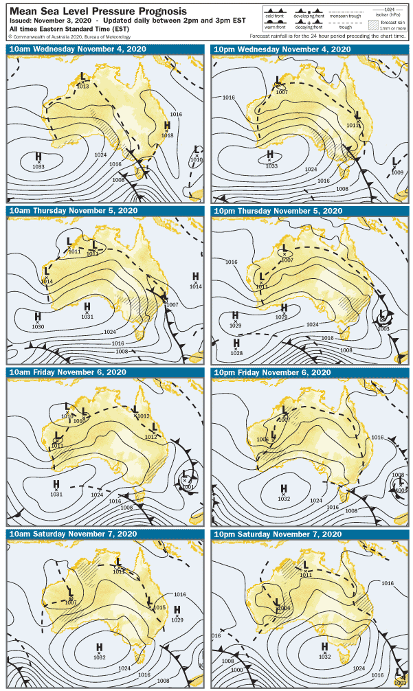
Figure 4:Surface synoptic prognosis.Image courtesy of the Australian Bureau of Meteorology(BOM).